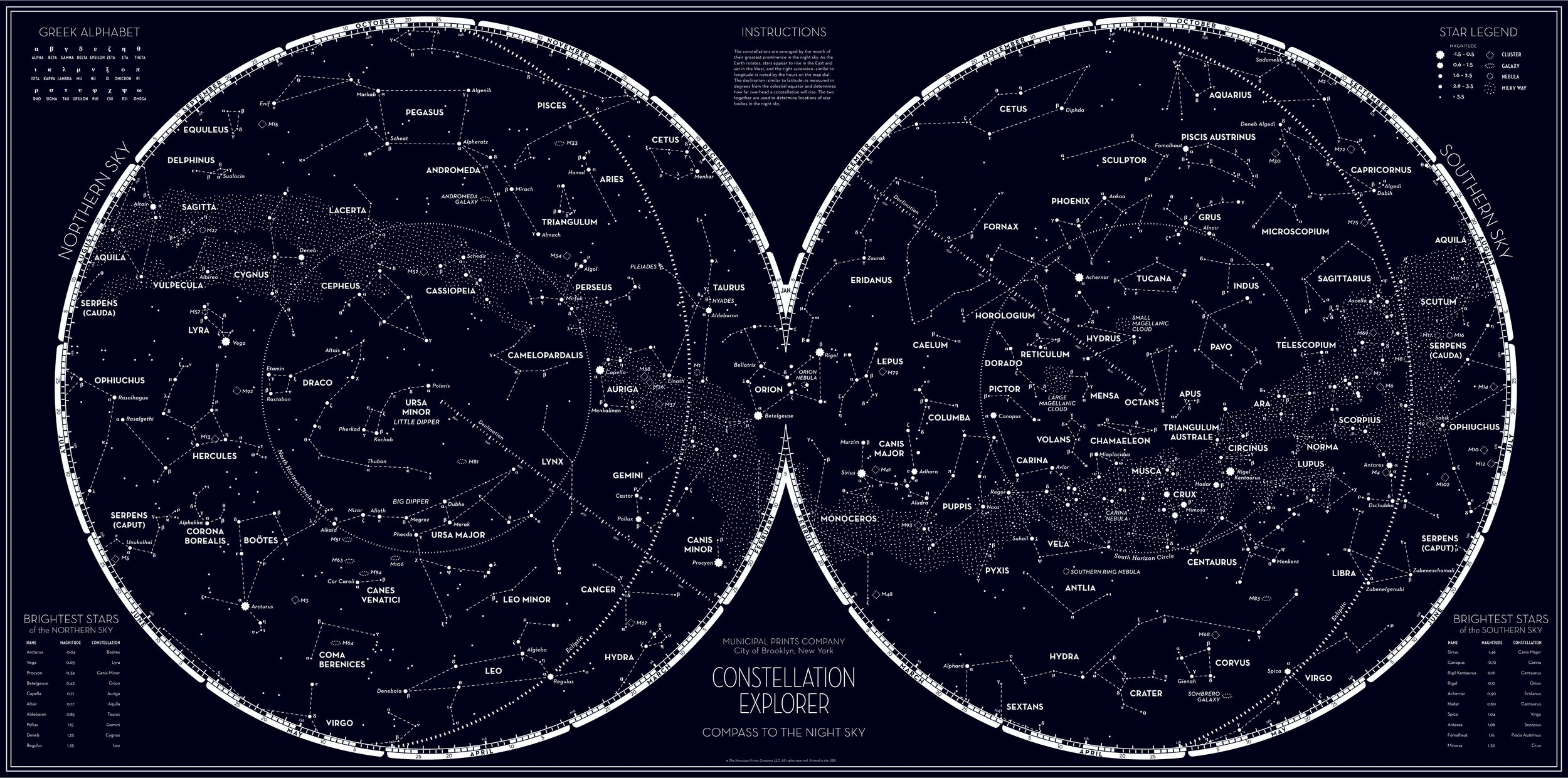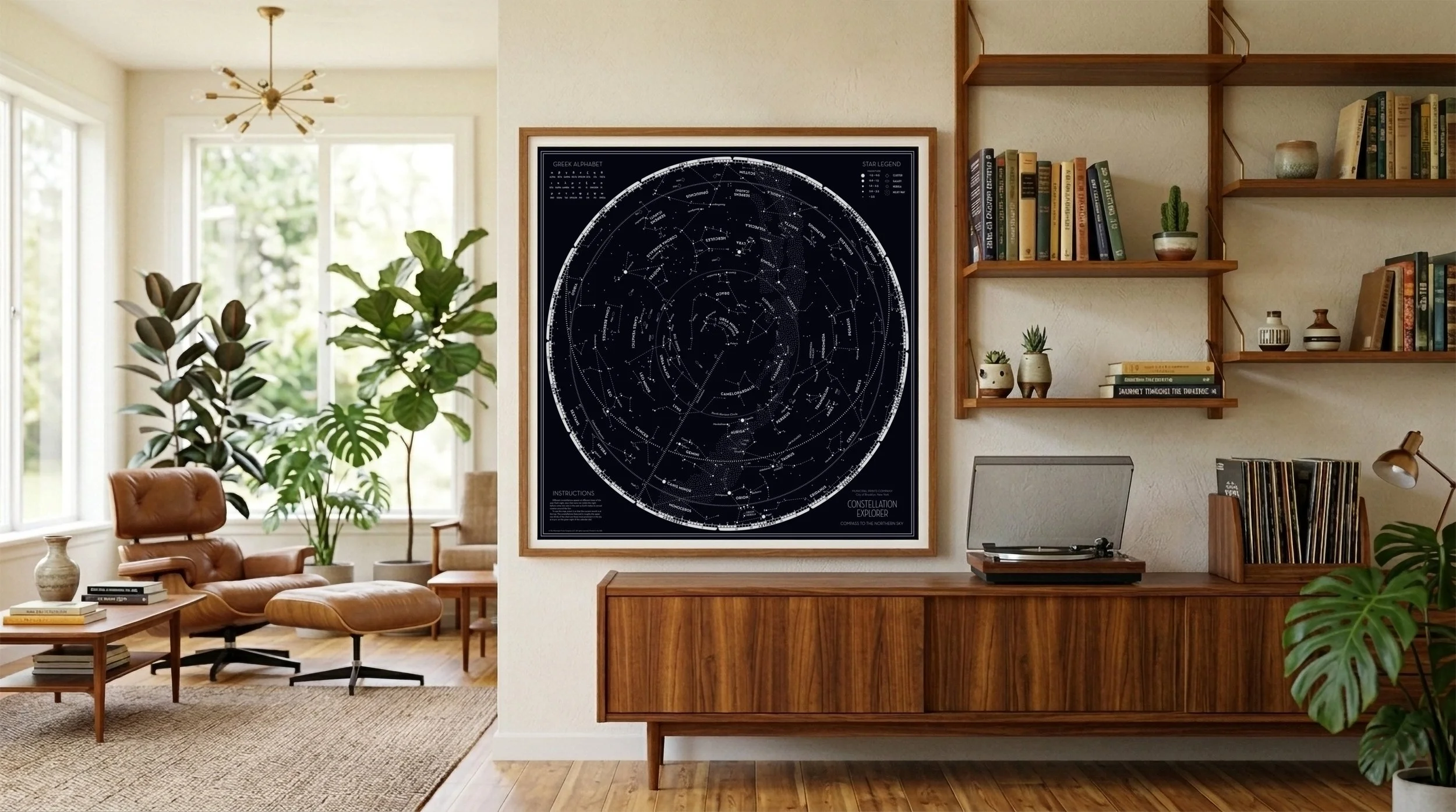
Constellation Explorer
Compass to the Night Sky
Role: Lead Designer
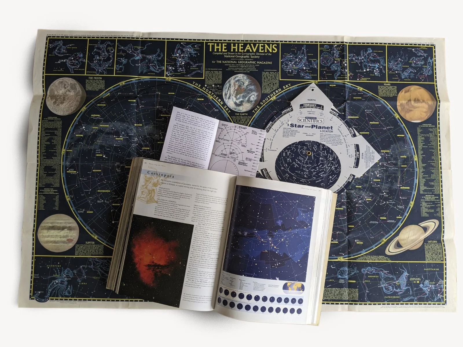
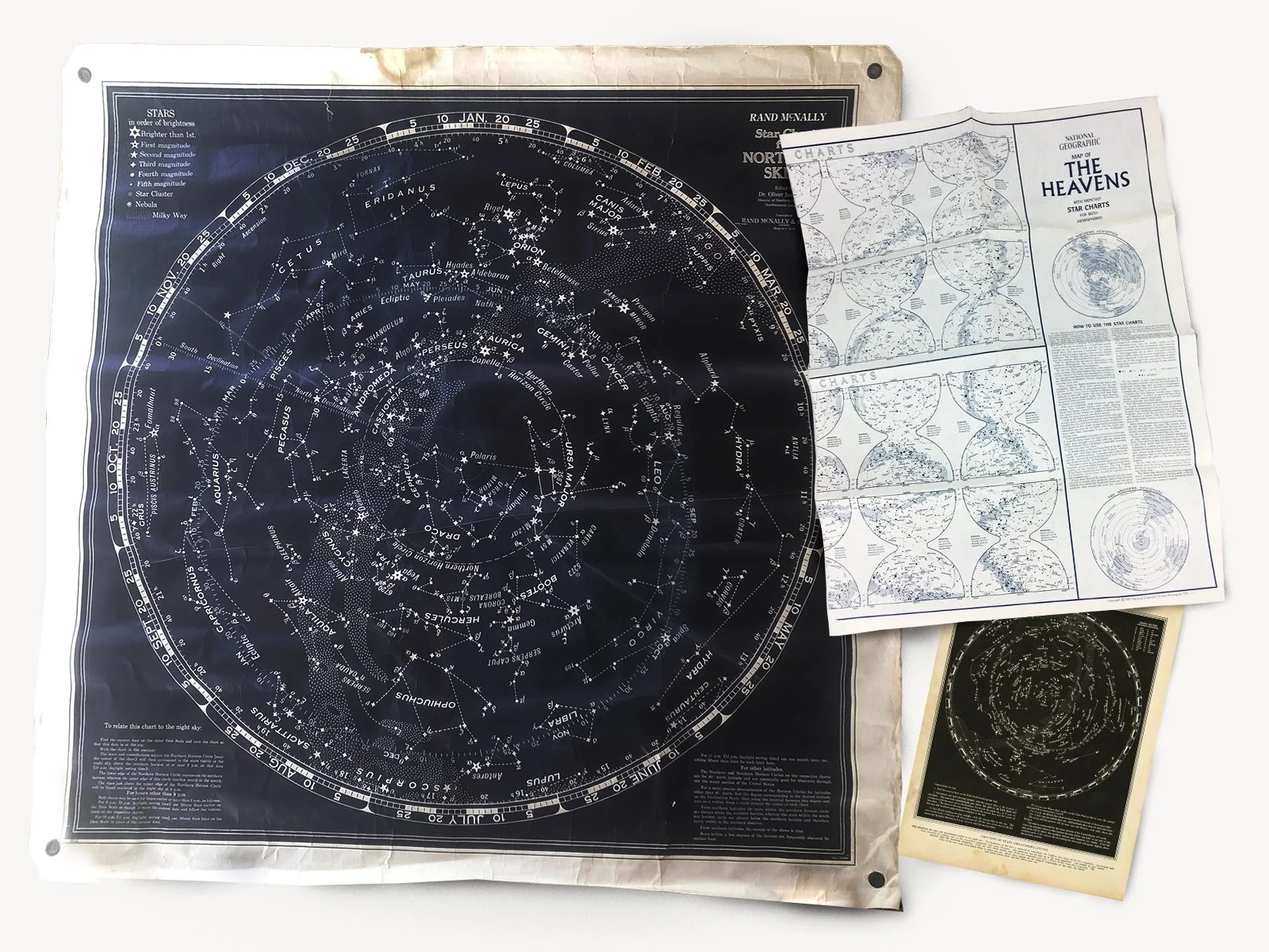
This assignment from Municipal Prints Company began with a singular brief: to create a "wow piece" for the home that captured the romanticism of early 20th Century celestial cartography. Drawing inspiration from vintage maps by Rand McNally and National Geographic, the goal was to elevate a functional scientific tool into an object of fine art.

However, "vintage" could not come at the expense of accuracy; not for this astronomy nerd. The integrity of the piece relied on the successful translation of the three-dimensional night sky into a readable, two-dimensional format that felt both authoritative and timeless.
The technical foundation of the project was built on the literal coordinate system of the night sky: Right Ascension and Declination. By creating a rigorous mathematical grid, I was able to plot each star according to its coordinates, sourcing data directly from astronomical catalogs to ensure the map was as scientifically sound as it was aesthetically pleasing.
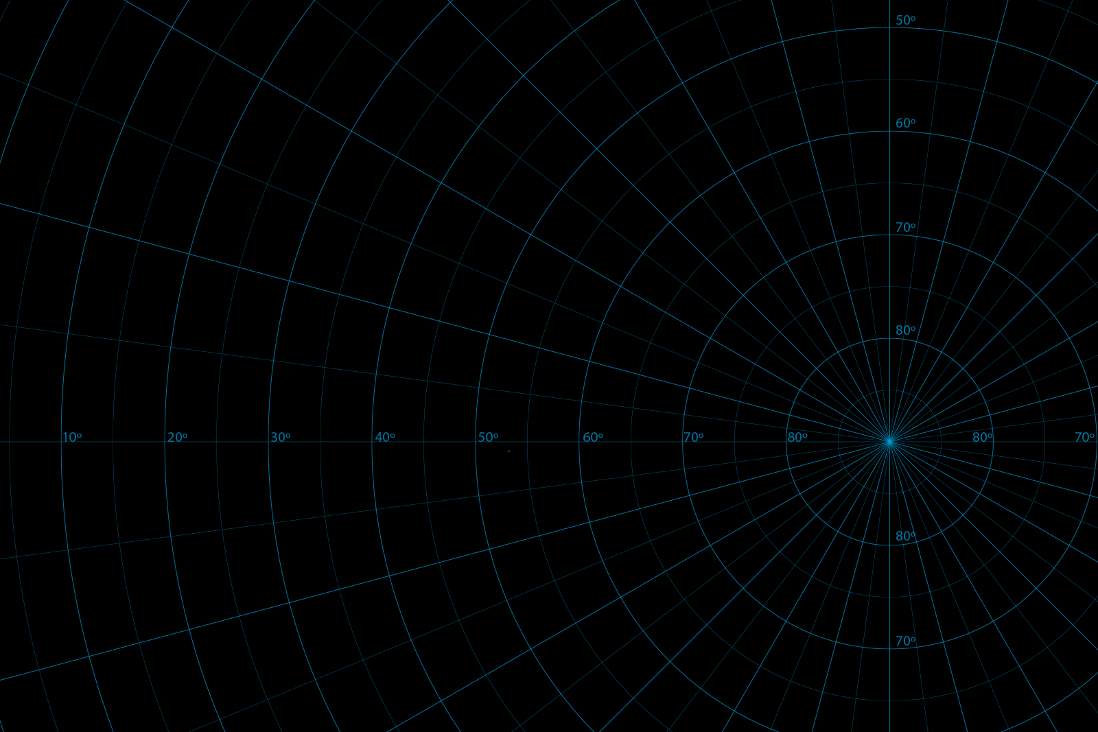

Translating a spherical sky onto a flat surface inevitably causes distortion—making iconic groupings like Orion look "squished." I had to balance the math with human perception, "fudging" certain placements to ensure the constellations remained recognizable while maintaining the internal logic of the map.